
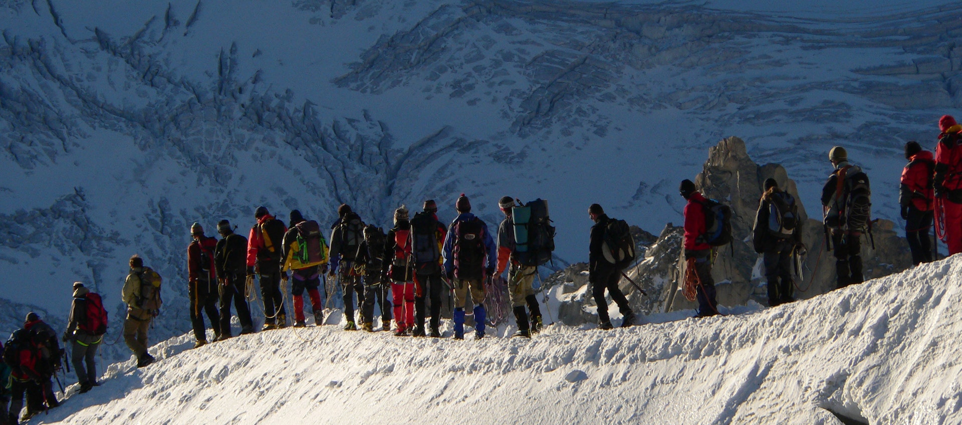
ADVENTURE TRAVEL and Trekking in Nepal
Taking you to epic natural landscapes across the Himalayas
Established in the year 1995, Euroasia Tours and Travels is a DMC for Nepal, Bhutan, and Tibet. Euroasia Tour and Travels was born in the foothills of the Himalayas. Euroasia Tours and Travels has successfully operated holidays in the Himalayan region of Nepal, Bhutan, and Tibet for 29 years. If you are looking for the perfect Himalayan holiday, be it tours, treks, peak climbing combined with other adventure sports, then Euro-Asia Tours & Travels is a perfect choice.
Let us help you discover the Himalayan region like never before. We have already experienced these Himalayan nations on your behalf. Therefore, we have picked the best programs to make your holiday worthwhile.
We have a strong network of trusted local partners to make sure we can execute any of your requests. From local transportation, accommodation, and excursions, to fully-organized round-trip tours and trekking of any length can be handled by our team professionally.
iconic destinations
Unique Adventures
years of Experience
Best Selling Trips
A selection of our best adventures in Everest Region, Annapurna Region including Bhutan, Tibet.

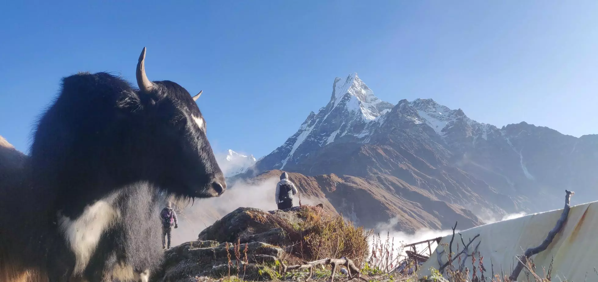
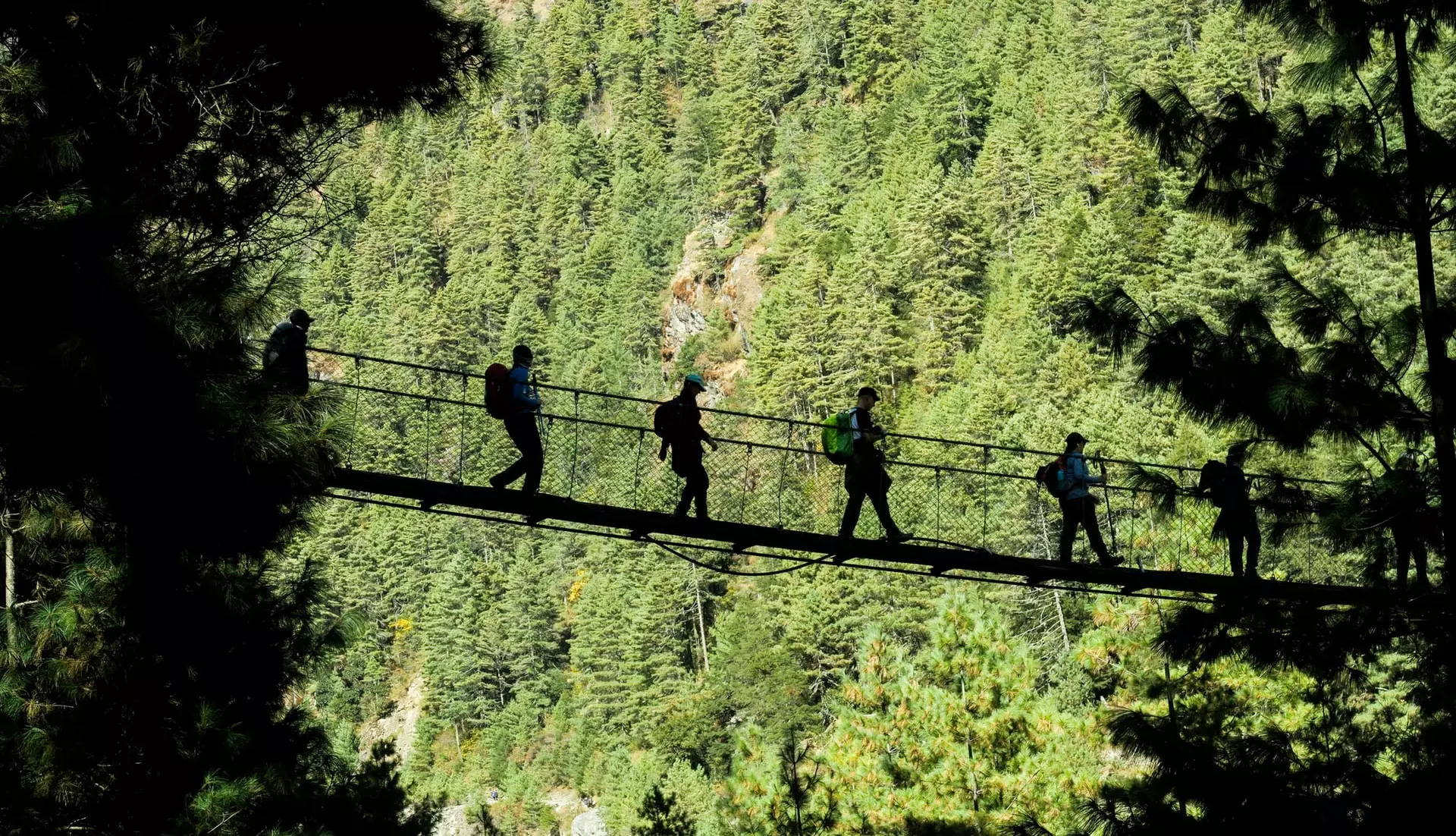
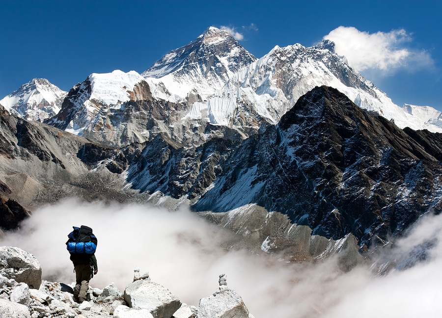
Everest Base Camp Trek – 18 Days
“Experience the ultimate adventure in Nepal with the magnificent Everest Base Camp Trek with us. Trek to Everest Base...

Annapurna And Everest Trek – 21 Days
“One’s destination is never a place, but a new way of seeing things. Annapurna and Everest Trek let you experience...

Gokyo Lakes Trek – 16 Days
“Every form of animate or inanimate existence leaves its impress upon the soul of man and Gokyo Nepal is...

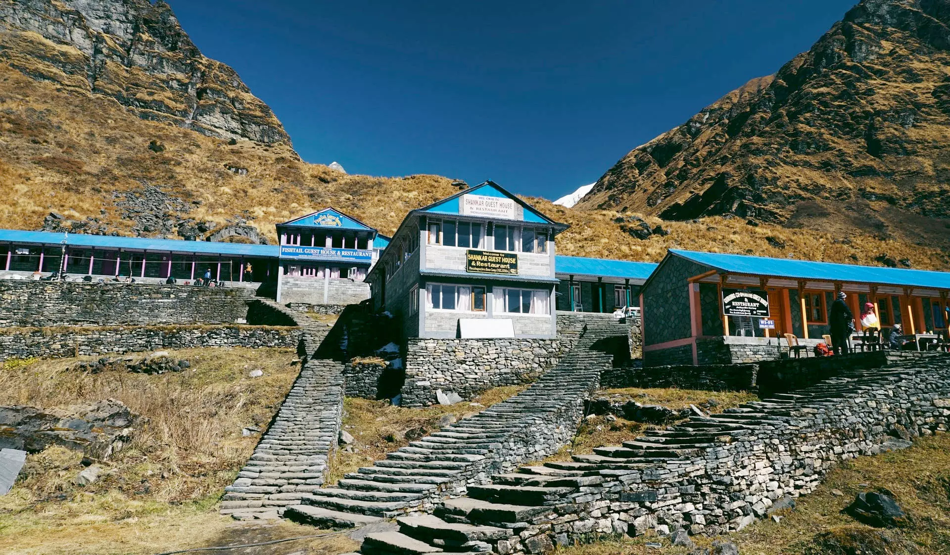
Mardi Base Camp Trek – 16 Days
“Traveling tends to Magnify all Human Emotions. Mardi base camp trek is a new route and justifies this statement...

Island Peak Trek – 22 Days
“To the lover of wilderness, Nepal is one of the most wonderful countries in the world for island peak...

Jomolhari Trekking – 15 Days
Jomolhari Trekking Jomolhari trekking is believed to be premier trekking adventure in Bhutan. Bhutan hiking offers the wonderful sightseeing opportunity...
Euro Asia Tours & Travel Destinations
Our Selection of the best destinations around the world allows travelers to see the real beauty of the country
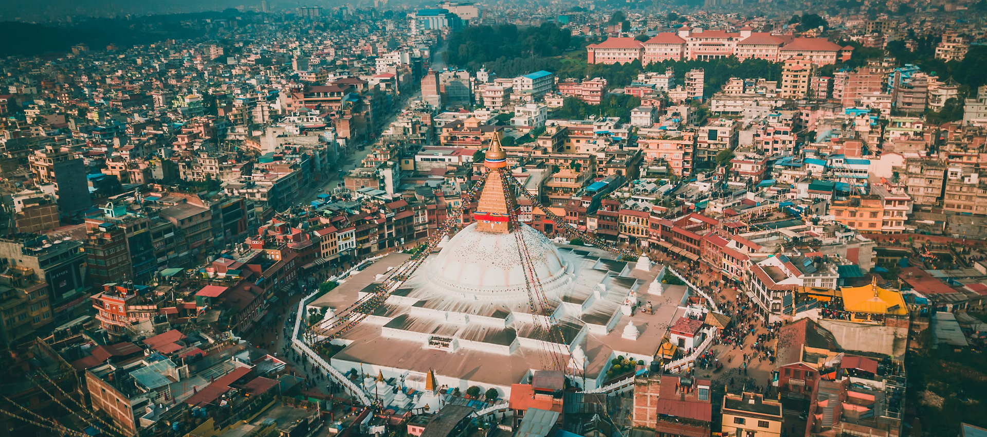
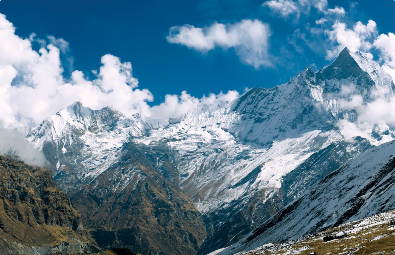
Nepal
Nepal is the home of world’s highest mountain and is regarded as heaven for trekkers and adventure enthusiast. Trekking...
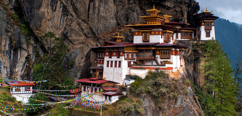
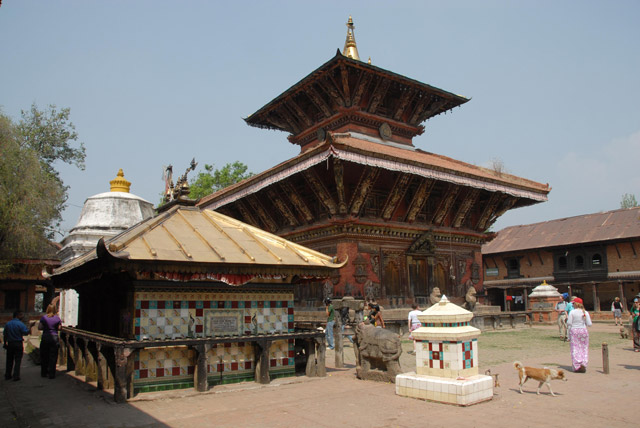
Bhutan
The Kingdom of Bhutan is an exotic land of Mahayana Buddhism, pristine environment, high mountains, alpine forests and lush valleys. It...
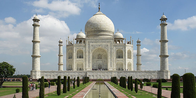
India
Package holidays to India golden triangle is one of the best Tours in South Asia . It is a perfect...
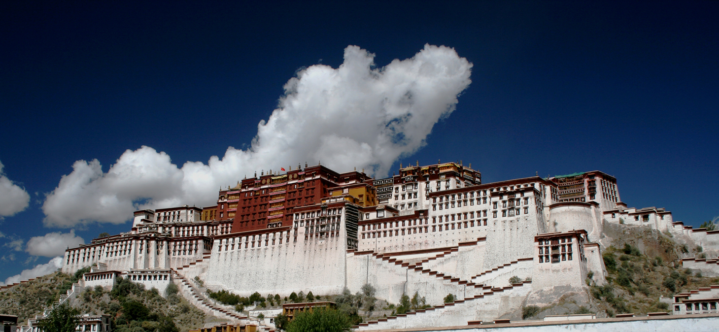
Tibet
Tibet “The Roof of the World” an ancient land of mystery with unique culture, mightily rivers, desolate mountains, unique...
Trip Style operated by Euro Asia
For people who love to trek and travel, Euro Asia has something for everyone.


Travel Blogs
Read Our Latest Blogs and Articles regading Nepal Trekking, Tours and All Adventure Activities

One day itinerary in Kathmandu
May 5, 2024

Cultural Kaleidoscope: Vibrant Festivals in Nepal 2024-25
April 30, 2024
